The Ogorzelec Mine
Ogorzelec
The "Ogorzelec" mine is a Polish company supplying amphibolite aggregates to the construction, road and railway industry. The company started production in 1991.
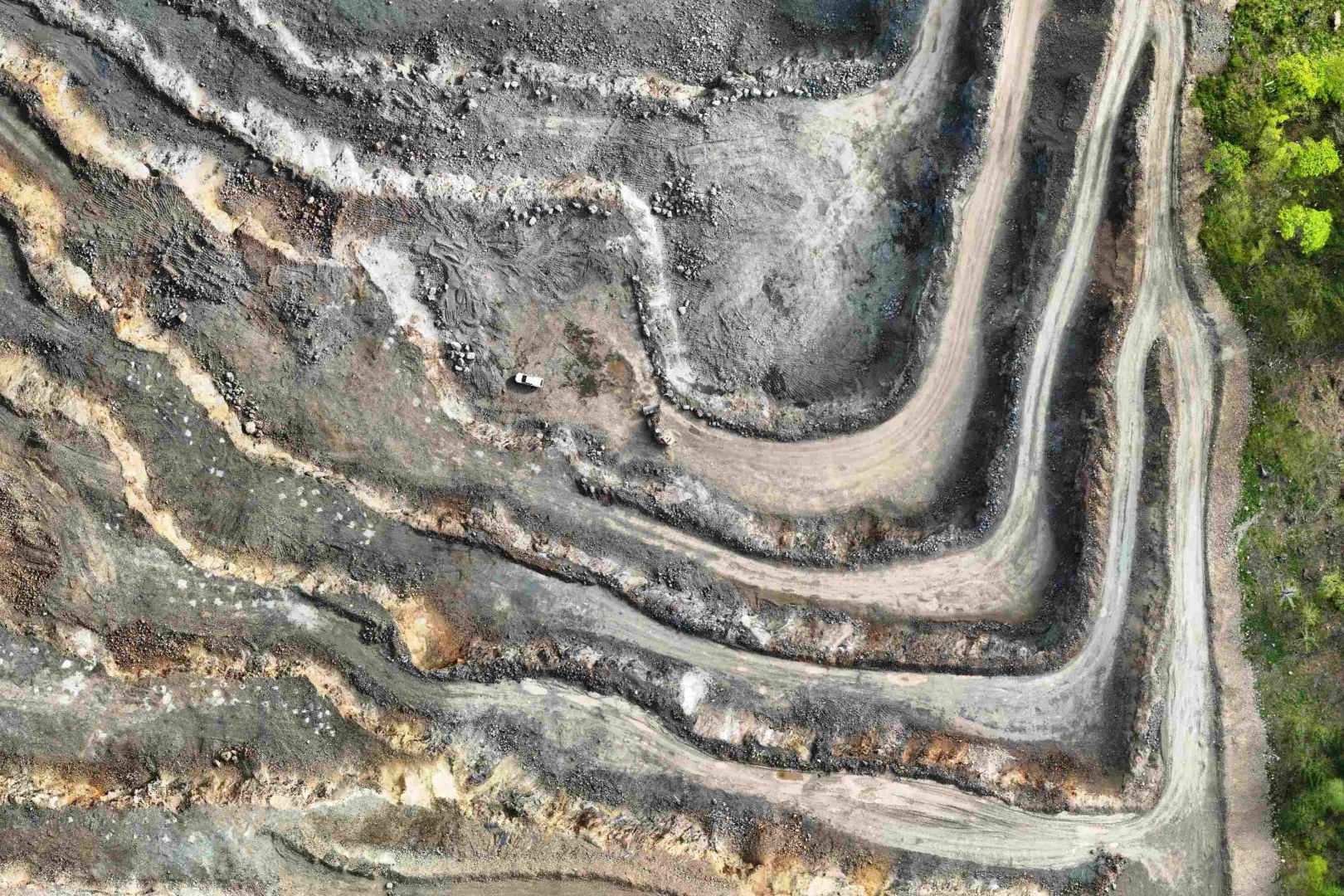
As part of the comprehensive service of the "Ogorzelec" Mine, we perform periodic volumetric measurements of materials located in the processing plant and provide high resolution orthophotomaps.
To control the amount of collected materials we perform measurements using low-altitude photogrammetric technique with the use of an unmanned aerial vehicle (UAV). As a result of post-processing calculations, we obtain a dense point cloud of the area over which the mission was carried out. In this way, we have geometric information about material piles even in hard-to-reach places.
Volumetric measurements in mining are regulated by the Regulation of the Minister of the Environment of October 28, 2015 on mine-surveying and geological documentation:
The relative error in measuring the volume of caprock dumps and output stockpiles cannot exceed:
1) up to 20 thousand m3 - 4% of volume;
2) over 20 to 50 thousand m3 - 3% of volume;
3) over 50 to 200 thousand m3 - 2% of volume;
4) over 200 thousand m3 - 1% of volume.
The measurement and calculation method we have developed fully meets the above conditions.
- boundaries of the mining area,
- range of mining operations,
- safety pillars,
- boundaries of the planned caprock dumps and output stockpiles.
- analysis of work progress at intervals,
- control of mining operations,
- conscious planning of mining works.