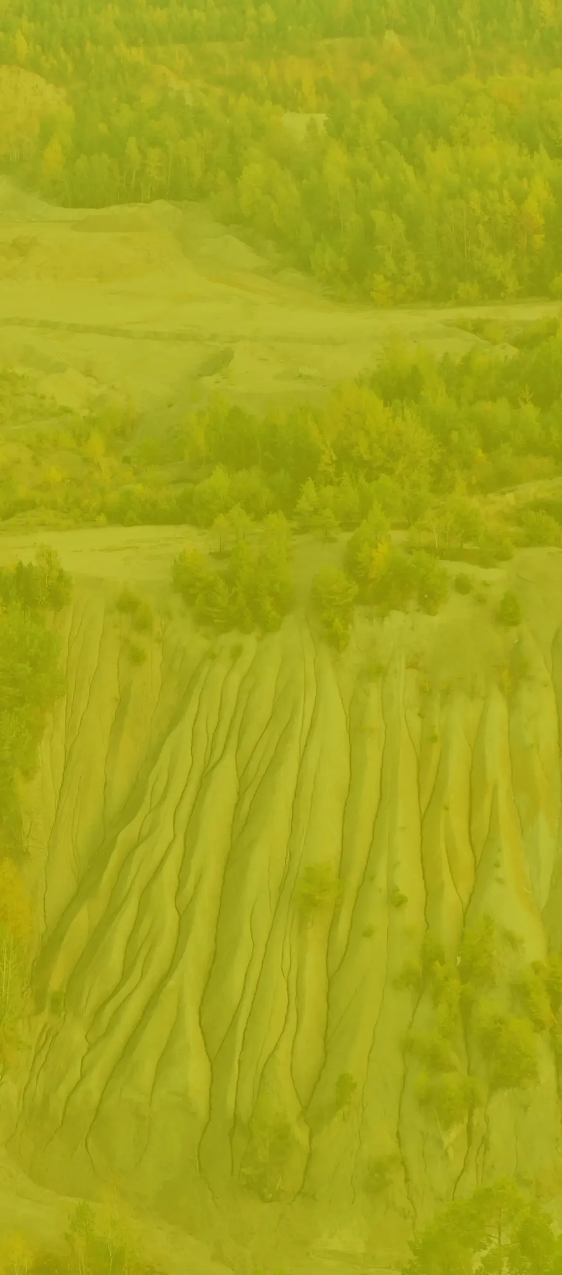
Application

Our surveying products and services are widely used in construction, industry and mining, optimising key processes.
Select a branch to explore the application:
Construction
By combining the strengths and competences of our company, we use the elements of classical land surveying and modern surveying techniques in services for the construction industry. Inventory measurements of linear and cubature structures, including mainly cyclical monitoring, allowing for tracking and documenting the progress of construction works. In order to ensure the appropriate level of work performed and your satisfaction, we expand our competences, we focus on the development of surveying techniques and shortening the chain of communication, which significantly accelerates the execution of an order.
An as-built inventory, also known as a surveyor's as-built inventory, must be performed upon completion of any construction project and minor remodelling, especially for:
- single-family homes
- all buildings requiring a building permit
- water supply connections
- sewer connections
- gas connections
- electricity connections
As-built surveying can only be carried out by a surveyor with special qualifications (professional qualification in the field of land surveying and cartography in scope 1 - land surveying, site and height, realisation and inventory measurements or in scope 4 – land surveying services for investment projects) because he/she has to perform a number of complex measurements which are necessary to establish the exact current location of buildings and land development elements by assigning them coordinates in the National Coordinate System. Current surveys concern those objects which have to be covered up or hidden during the construction, whereas final surveys concern newly erected buildings after their completion as well as the vertical shape of the land surface which has changed during the construction. Details regarding the measurements are contained in the Regulation of the Minister of Internal Affairs and Administration of 9 November 2011 on the technical standards for land surveying situational and height measurements and the development and transfer of the results of these measurements to the state land surveying and cartographic records and the Act of 7 July 1994, the Construction Law, Article 43, section 3.
On the basis of the measurements, a situation sketch and descriptions of the current state of objects are created, which are the basis for the preparation of the basic map that gives a comprehensive picture of the investment and all the works carried out.
Our company bases upon classic land surveying products such as:
- maps for design purposes
- marking out of buildings, structures, roads and land development networks
- as-built inventories
- divisions of properties
- reopening of borders
- land surveying construction service
- staking of electrical power networks with rated voltage above 1 kV, water supply, sewage, heat and telecommunication networks
- tyczenie przyłączy elektroenergetycznych, wodociągowych, kanalizacyjnych, gazowych, cieplnych i telekomunikacyjnych
- staking of telecommunications cable lines, cable ducts
Also using modern measurement techniques:
-
Laser scanning for deformation control of engineering structures, compliance of design assumptions
Industry
Thanks to the use of modern surveying techniques such as 3d laser scanning, drone shots and precise measurements with classic surveying instruments, our company provides fully functional and innovative products for industries.
Laser scanning is a key element in the modernization of large industrial plants. It allows us to avoid many mistakes already at the stage of design and modernization of existing plants, industrial lines, pipeline components, etc. We cooperate with many design offices delivering a finished product in the form of a point cloud, cross-sections or 3d models on which you can directly work.
Point Cloud, which we obtain as a result of laser scanning, can be used to verify the performed elements, to control the designed parts whether there is no collision with the existing infrastructure of the plant, or verification of deformation of steel elements.
Low level drone photogrammetry is widely used as a complement to laser scanning, in the modernization of industrial plants. Thanks to drones we obtain such products as: orthophoto-maps, point clouds, 3dmesh models. From drone measurements we can obtain a 3D model of the area adjacent to the industrial plants, orthophoto-maps, photos of industrial plants from the bird's eye view, promotional videos for marketing purposes.
Architecture
Thanks to the use of 3D laser scanning or photogrammetry we obtain visualisations of details both from the outside and from the inside of an object.
Performing scans of an object in combination with architectural knowledge allows us to perform an inventory at a level of accuracy and detail unattainable for classical field measurements. By creating parametric models, we make full 2D architectural and construction documentation, 3D models serving as a basis for the reconstruction or renovation project (including BIM models), examination of deformations occurring or accurate surface and volume measurements of objects. Thanks to 3D model visualization we have the ability to create the so-called virtual tour, which can be an important element of the presentation for the investor.
Architectural applications
- Full architectural and construction documentation, including elevation projections, cross-sections
- Surveying the condition of historic buildings - including the identification of cavities, damage, etc. using drones or thermal imaging cameras
- Verification of the planned investment - investigation of collisions between the planned and existing infrastructure
- Documenting construction progress
- Construction management using modern BIM techniques
- 3D modelling of buildings
- Deformation analysis of objects
- Virtual tours of the facilities
- Inventory of interiors and details of buildings
Mining
Mining is an industry where low-level photogrammetry and 3D laser scanning techniques are used extensively.
These technologies allow us to prepare reliable documentation for the client in a fast, non-invasive and safe way, guaranteeing high accuracy and full repeatability of measurements.
In order to meet the development and the process of modernization and optimization of mining processes, we have prepared a comprehensive offer, including
- full measurement and surveying services,
- calculation of the volume of loss of raw material in the deposit,
- calculation of the volume of heaps of finished materials
- inventories of dumps,
- settlements of subcontractors of works,
- provision of an interactive 3D model of a mine,
- remediation projects,
- land development concepts.
Damage to crops by animals
Inventory and estimation of damage to crops by animals with the use of drones
Has a wild boar, deer, fallow deer or roe deer damaged your crops? Are you a hunter who wants to settle honestly for Damage to crops by animals or are you a local government official responsible for settling damages? Contact us - we will assess the damage quickly and accurately using drones.
Using the so-called photogrammetry technique with the use of drones, we precisely photographically inventory the condition of agricultural land (arable land, grassland), forests and waters. The documentation is done by means of unmanned aerial vehicles, popularly known as drones, and unique digital recording. The technology we use allows us to generate high-resolution orthophoto-maps, smoothly changing the image of the recorded area from a general one - showing the outlines of particular fields, to a detailed one - showing the condition of particular plants. This technique also enables a precise calculation of the total area of use and the sum of any sections of the total area (e.g. sum of damaged by animals, sum of soaked areas, agrotechnical errors, etc.).
Hunting and farming services
For the needs of the hunting economy and farmers - using the above technique and with many years of experience of authorized appraisers - we make estimates of damage to crops by animals.
The main advantages of our services are:
- documentation has the value of objective, measurable forensic evidence.
- the review and recording of a field with a drone is very fast and accurate. It also does not cause the slightest damage to crops and excludes mistakes and inaccuracies.
- elements of damage estimation: crop price, yield per hectare, etc. are obtained from sources related to the assessed agricultural use. The document - the assessment report - will be drawn up and issued on the forms of the Hunting Law.
- are performed by professionals with the highest qualifications and experience.