Photogrammetry for mining
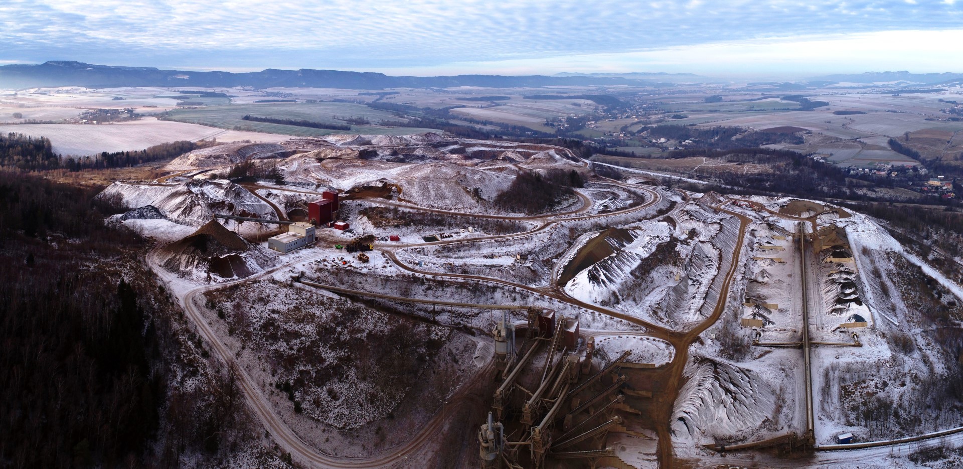
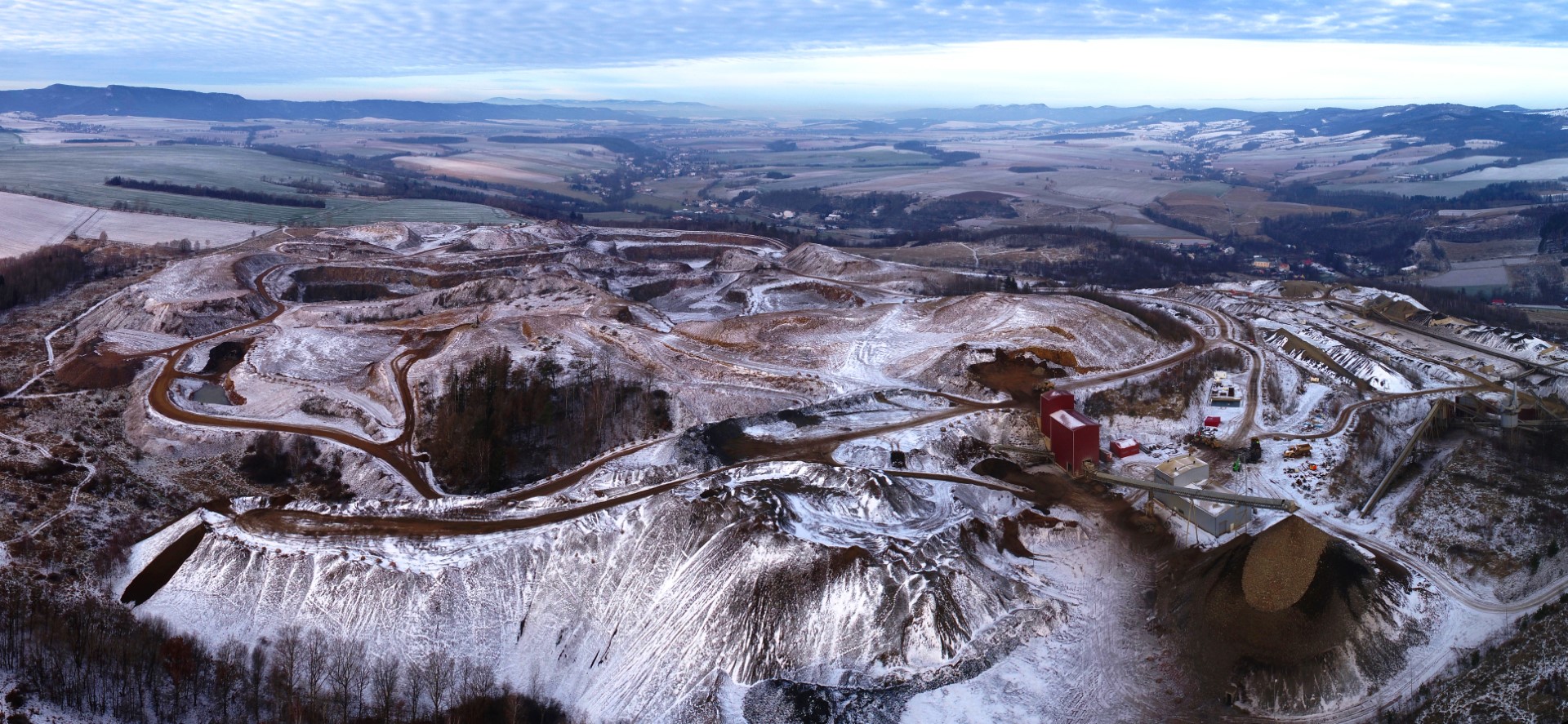
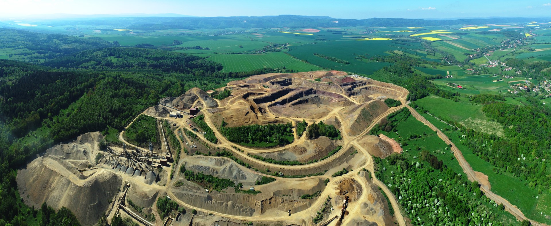
Kopalnia Melafiru Tłumaczów – REGNARS Sp. z o.o
The low-altitude aerial photogrammetry technique was used to carry out the task, utilizing non-metric photographs.
The technology involves processing digital images into a 3D point cloud, which is a spatial, finite representation of the terrain consisting of points with X, Y, Z coordinates and the color values of each point (pixel).
To fit the point cloud into the Polish Coordinate System 2000, 11 ground control points were established and measured in 20 epochs using a Leica Viva CS10 receiver. The strict adjustment method yielded an average fitting error of 20 mm. After establishing the ground control points, a photogrammetric survey was conducted using a Phantom 4 RTK quadcopter, with an average ground sample distance of 6.11 cm for an area of approximately 2.5 km2.
The aim of the computational work was to determine the inventory levels for the Tłumaczów Melafir Mine on a given day. In order to calculate the volume of the inventory levels, digital terrain models were constructed in the form of Triangulated Irregular Networks (TIN):
- A terrain model created based on a cleaned 3D point cloud obtained using low-altitude photogrammetry.
- A terrain model created based on the outlines of all material prisms with zero terrain elevations.
The computational tasks were carried out by comparing the above digital terrain models (TIN meshes). The calculation is performed by comparing the differences between the 3D surfaces, and then showing the values of the excavations and embankments between the models. The other elements produced as a result of the work were an orthophotomap, a point cloud, a mesh, and a DSM (Digital Surface Model).