Photogrammetric and laser scanning with 3D thermal measurements
KWK Bogdanka
The laser scanning technique was used to carry out the project, which involves collecting a significant amount of points (several million points per station) within the range of the laser scanner.
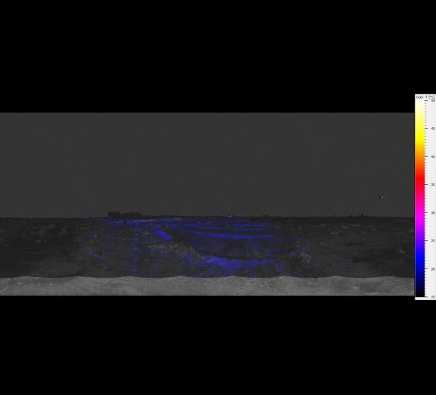
In addition, a thermal imaging camera was used as an overlay, allowing for temperature data to be collected in addition to the point cloud data. 14 scanner stations were set up in the field to complete the project.
Field work was carried out under the following conditions:
- Start of field work (around 7:30 pm): temperature 15 °C
- End of field work (around 10:30 pm): temperature 10 °C
- No cloud cover
- During evening measurements, the influence of sunlight on the recorded temperatures was limited
In order to prepare the initial model for the next measurements, a digital terrain model in the form of a TIN (Triangulated Irregular Network) mesh was created in AutoCad Civil 3D software. The model will be used to analyze potential ground movement or settlement.
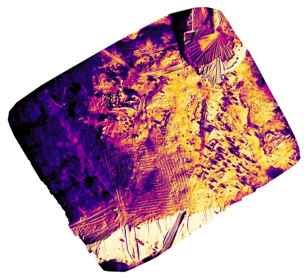
Thermographic measurement using laser scanning was performed on a sunny, cloudless day around sunset (after 7:30 pm) to minimize the influence of sunlight on the recorded temperatures. Results ranged from 11 to 17ºC. Higher temperatures were recorded in the eastern part (beginning of measurements) and lower in the western part, indicating a gradual cooling of the rock during the measurement. No thermal activity was detected in the examined area.


