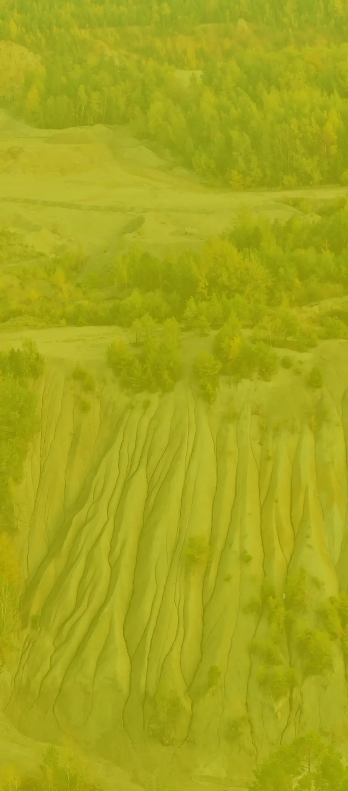
Low-altitude photogrammetric survey
Rybnik i Jankowice
The survey was carried out using low-altitude photogrammetric technique with the use of an unmanned aerial vehicle (UAV).
The measurement was conducted for an area of approximately 65 hectares as specified in the project, along with the creation of a situational-altitude map.