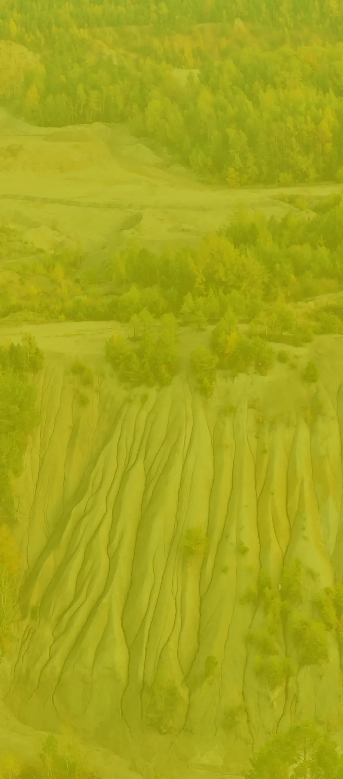
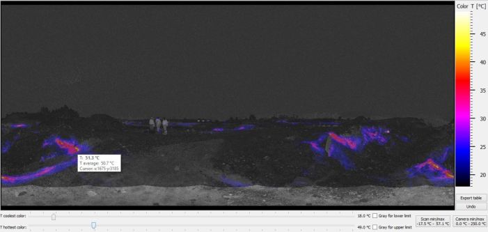
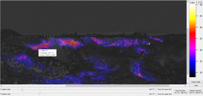
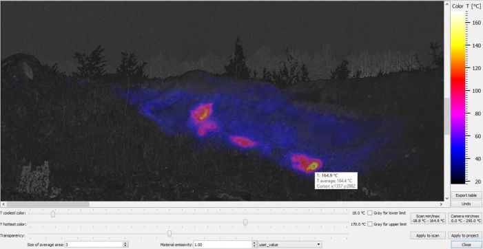
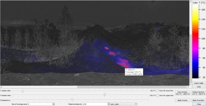
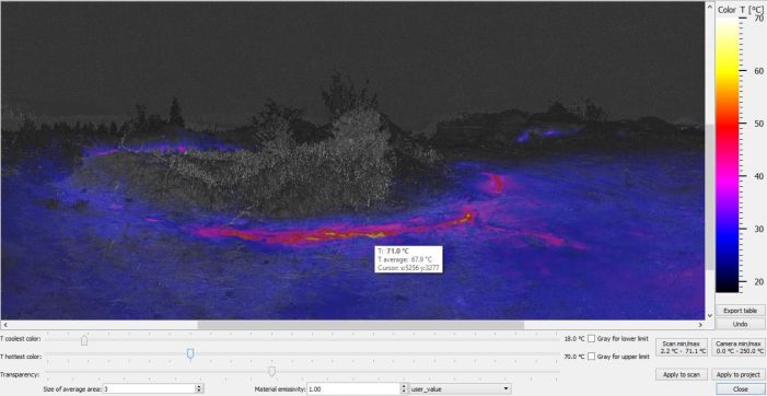
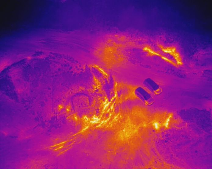
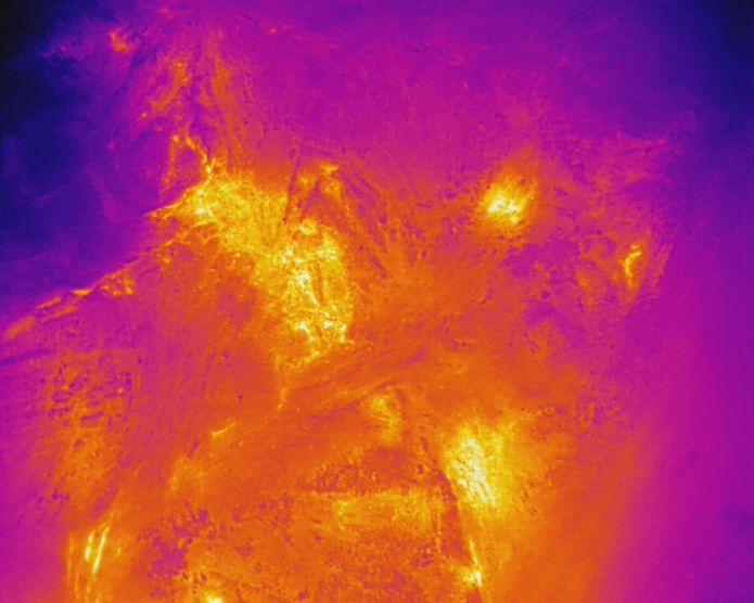
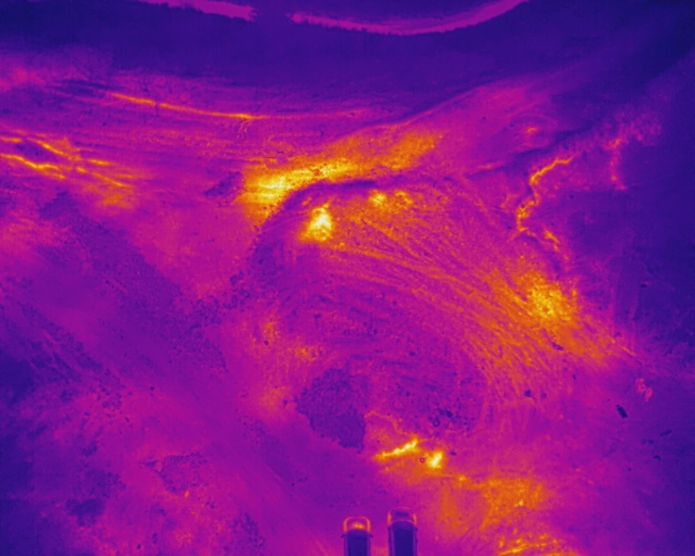
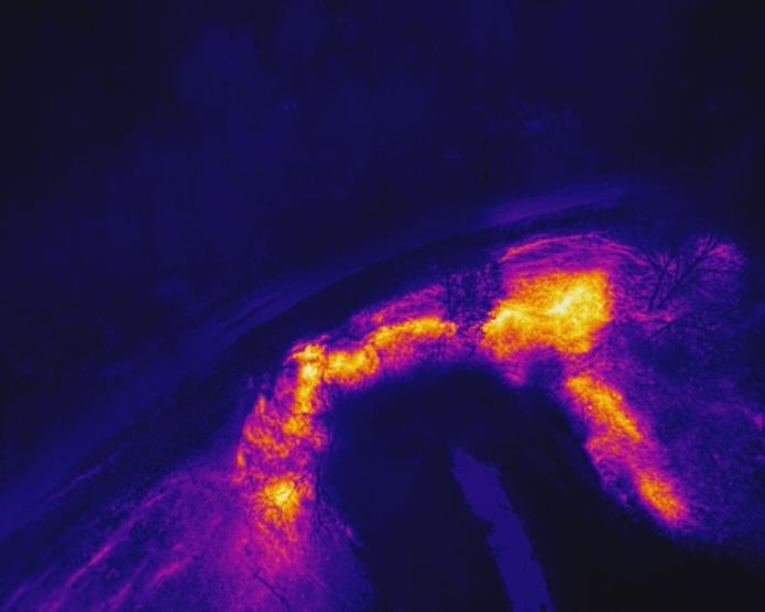
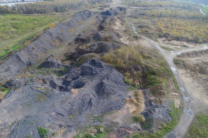
The 3D thermographic measurements were carried out using photogrammetry and laser scanning techniques on a mining waste dump
Bytom
The aim of the research conducted in this project is to locate the combustion zones and determine the intensity of thermal phenomena occurring within the coal waste dump located in the area of Magdalena Street in Bytom.
Research scope:
- Low-altitude photogrammetry with the use of an unmanned aerial vehicle (UAV) within the surveyed area
- Laser scanning of the landfill combined with infrared temperature measurement within the thermally active area
- Processing the point cloud data to create a geometric representation of the surface of the landfill site along with a temperature distribution map
- Measurement of internal temperature (depth of 1.0 m) of the landfill in selected points
- Measurements of gas concentrations (O2, CO2, CO, CH4) inside the landfill atmosphere
- Interpretation of the obtained research results
The results of thermographic studies in the area of the coal waste landfill at Magdalena Street in Bytom indicate the occurrence of significant temperature anomalies over a large area of its slopes and plateau. They indicate the thermal activity of the object.
Both temperature values and gas concentrations indicate the intense course of thermal processes and their developing character in many areas of the landfill. These include:
- the aforementioned northern bank of Szarlejka (area of points P9, P10, P11 - fig. 4.1),
- the slopes in the southeast section of the embankment on the south bank of the river (area of points P15, P16),
- the slopes in the final section of the exploitation site (area of points P13, P14,
- the embankment on the top of the landfill near the excavation created in the flotation waste of KGH Orzeł Biały (area of points P4, P5).
There is a real risk of ignition of further areas of the waste dump, which are built of coal waste, and further environmental degradation.
The elevated temperature values (above 40°C) and gas concentrations, as well as strong oxygen depletion inside the object, confirmed the initiation of thermal processes on the mound located towards the M1 shopping center in relation to the analyzed area (area of points P1, P2, P3).
Referring to the results of thermal state research conducted in previous years, there is a rapid spread of heated and burning zones in all directions. The embankment located along the Szarlejka River is currently burning over a length of about 550 m, causing degradation of the forest along its southern bank. The fire also spread to the other bank of the Szarlejka River through deposited carbonaceous shale above the river culvert in the northern part of the waste dump.


